Marhaento, H. (2016). GIS-based analysis for assessing landslide and drought hazard in the corridor of Mt. Merapi and Mt. Merbabu National Park, Indonesia. Geoplanning: Journal of Geomatics and Planning, 3(1), 15-22. doi:10.14710/geoplanning.3.1.15-22
The 5th World Congress on National Parks in Durban, South Africa in 2003 under the theme Benefits Beyond Boundaries recommended that the principle of collaborative management between public bodies and local communities become a new model in the management of national parks (IUCN, 2005). A manifestation of this new paradigm is the arrangement of the buffer zone of protected areas. Conceptually, a buffer zone aims to enhance the conservation values of the buffered area (regulation of Indonesian Government No.68 of 1998). A buffer zone that connects two or more protected areas is known as a corridor area (Beier & Noss, 1998; Indrawan et al., 2012).
Corridor area can be production forests and plantations, and even cultivated lands owned by communities, which, if it is designed properly, will be a valuable conservation tool (Beier & Noss, 1998). Management of corridor area so far focused on its function as the expansion of protected areas to connect between biomes (Joshi et al., 2013; Wangchuk, 2007). Numerous studies had been done to explain the function of the corridor area as wildlife migration path especially those with a broad range o f habitat (Douglas-Hamilton et al., 2005; Joshi et al., 2011; Silveira et al., 2014). However, the presence of people who live in the corridor can be a threat to the survival of wildlife migration process (Kushwaha & Hazarika, 2004). The expansion of settlements and cultivation of seasonal crops became the most influential factor to disturb the existence of the corridor (Joshi et al., 2011). One of the efforts to preserve the corridor area is through spatial planning and land management of it.
In contrast to that of the other types of region, spatial planning of a corridor area has rarely got attention (Pouzols & Moilanen, 2014). Moreover, McRae et al., (2012) stated that there is a lack of spatial planning in a corridor area that focuses on protecting biological diversity in all levels (genetic, species, and landscapes). One of the obstacles is less of understanding between protected area managers and regional governments (Anshari, 2006). In addition, people who live in corridor area are also lack of understanding about other functions of protected area, especially as a water and soil regulator to prevent natural disasters (Qutni, 2004).
The aspects of disaster vulnerability in the corridor management strategy are still new and challenging. We believe that putting the element of disaster management in corridor areas is one of the solutions to reach an understanding between protected area managers, local communities, and local governments. Issues on disaster mitigation are more attractive than biodiversity protection so that it may gain more support from local community and local government. In addition, it is obligatory for local governments to protect communities from future disaster as stated in the Indonesia Law No. 24 of 2007 on Disaster Management.
This study aims to analyze the two potential hazards in the corridor area of Mt. Merapi National Park (MMNP) and Mt. Merbabu National Park (MMbNP), namely landslides and drought. The corridor area of MMNP and MMbNP comprises administratively the Sawangan sub-district (Magelang district), Selo subdistrict, Cepogo sub-district and Ampel sub-district (Boyolali district) (see Figure 1). According to INFRONT (2008), these research areas are classified landslides prone caused by non-conservative tillage practice on the land use management. Moreover, agricultural productivity in the research sites is threatened to decrease due to hydrometeorological conditions (Putri, 2008). The results of this study will be useful as an advice for the conservation manager and local government to manage the corridor area based on disaster mitigation of landslides and drought hazard.
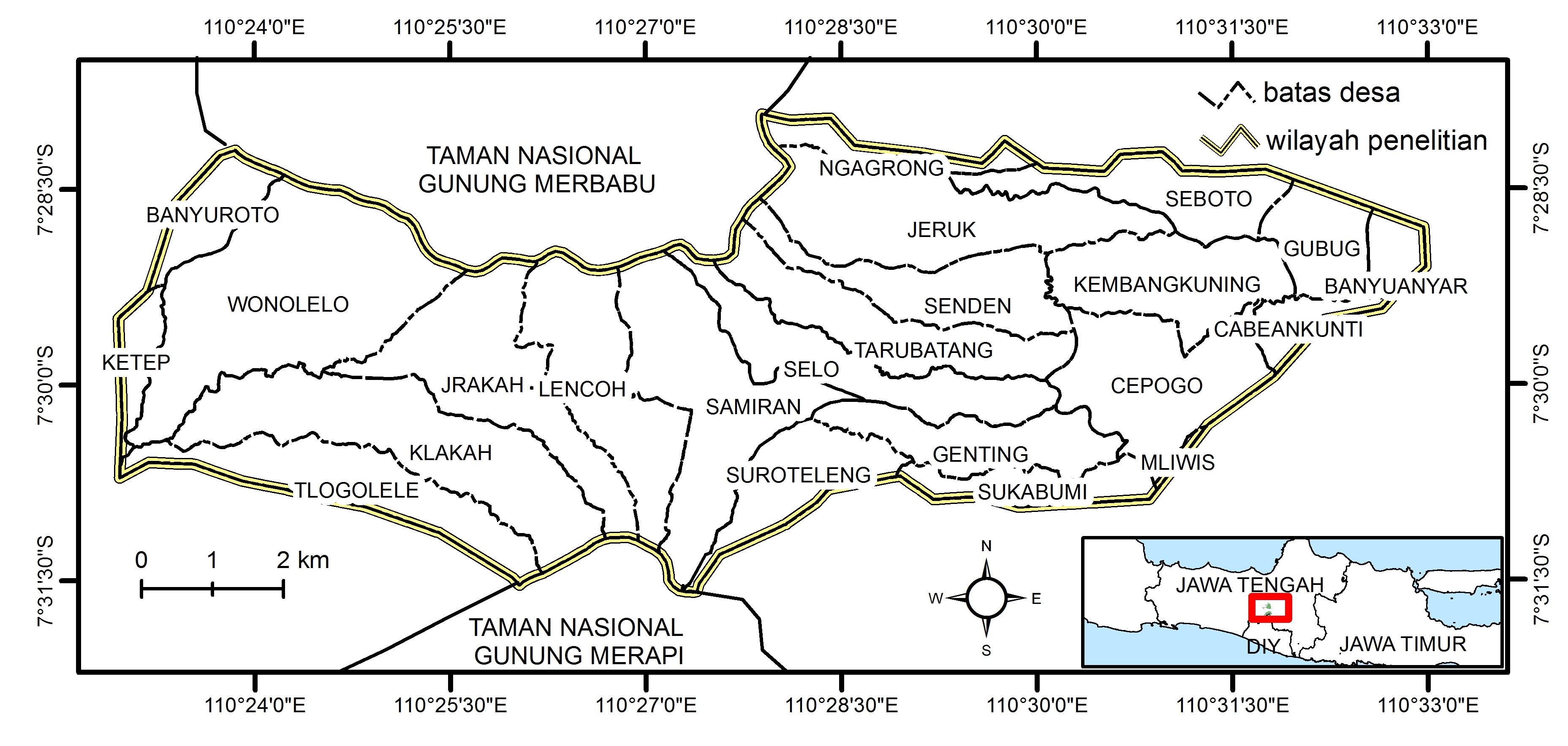
Figure 1. Area of study